12 Traffic information
12
}}
73
Traffic information
Shown here are symbols for the display of
existing traffic information and instructions on
how to open and learn about traffic informa-
tion.
General
The navigation system continuously receives
transmitted traffic information.
This symbol indicates that
traffic information is available
within the current reception
area. Depending on the
nature of the information, the
symbol may be RED or YEL-
LOW (p. 66).
This symbol marks the posi-
tion of a traffic problem - for
more information, see the
heading "
Traffic on map" in
section Traffic information -
with specified destination
(p. 74).
NOTE
Traffic information is not available in all
areas/countries.
The traffic information transmission areas
are constantly being expanded.
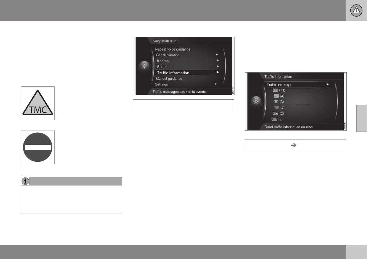
Opening traffic information
Traffic information
Cursor on Traffic information + OK shows
information about traffic disruptions - but how
the information is shown differs, depending
on whether or not an Itinerary is specified.
Related information
•
Traffic information - with specified desti-
nation (p. 74)
•
Traffic information - without specified
destination (p. 73)
•
Extent of traffic problem (p. 76)
Traffic information - without specified
destination
The function allows you to show traffic prob-
lems without the specified destination having
been selected.
Traffic information on map
Opens the scroll function on the map.
Traffic information Traffic on map
Cursor on Traffic on map + OK enables the
option to search for traffic problems with the
scroll function - see the description under the
heading "Traffic on map" (p. 74).

